Project Erebus
Tracking and Data Monitoring
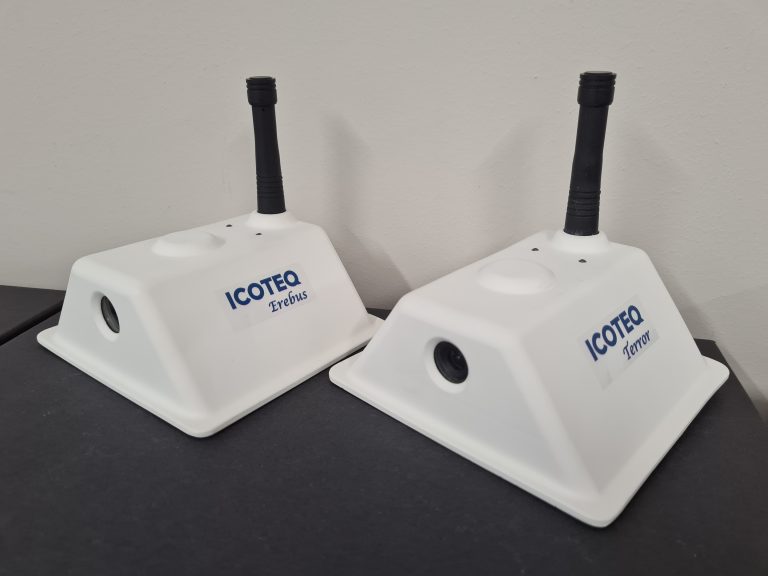
Icoteq have developed a custom tracking and data monitoring device especially for Project Erebus. It incorporates a GPS receiver, air and ocean temperature probes, a pH probe to measure ocean acidity and a forward facing camera. Position and scientific data are sent back to our servers using an ARGOS satellite communication link.
The Brief
On the back of our long standing experience with tracking and wireless products, Icoteq was asked if we'd like to help providing tracking devices for the two ships Terror and Erebus which would have to last for up to four years in one of the most inhospitable parts of the world. To add further interest it was also decided to add a camera to the tracker so we could actually see where it was and make the journey more real for the thousands of followers expected to engage with this adventure. In addition Icoteq proposed to add practical value to the journey by including sensors measuring climate change markers (ocean temperature and pH) in an experiment to establish if low cost devices were developed enough to allow gathering of this type of data at scale for long periods.
Core Electronics
The main PCB design was based around a microcontroller with Bluetooth connectivity built-in. This allows us to configure and operate the unit remotely from a phone or laptop once sealed inside it's waterproof housing. Turning the power on or off is simply enabled using a magnetic switch.
In order to communicate the data and the location back to a server we used an Icoteq designed certified ARGOS satellite transceiver; the ARGOS satellite network has worldwide coverage but it is important to calculate precisely when a satellite is overhead in order to get your message received. We achieve this using an on-board GPS receiver which gives us precise time and location which is then used to calculate the next pass-over of a satellite.
The location of each boat will be updated daily and the journey followed on our live map at https://www.icoteq.com/project-erebus/
Sensors
There are three environmental sensors designed for gathering data throughout the voyage. We measure air temperature, ocean temperature and ocean pH. The air temperature is actually the internal temperature of the tracker housing so this will follow a damped response to the external temperature which will of course also be affected by waves washing over the boat.
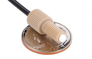
The ocean temperature is measured using a high performance calibrated probe accurate to 0.15°C. The probe tip is positioned on the underside of the hull to ensure it is constantly in contact with the water.
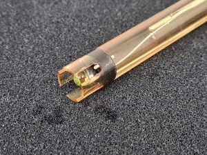
Ocean pH is also measured using a high performance probe positioned near the temperature probe on the underside of the hull and protected by proximity to the metal keel. This device is accurate to +/-0.002 pH and requires careful calibration prior to deployment after which it should last for a year before requiring recalibration (which will not be possible once deployed). How this device performs over the short term and long term will be particularly interesting since pH measurements usually require very expensive equipment with complex automatic calibration procedures.
Data from all of these sensors is posted on our data page https://www.icoteq.com/project-erebus-scientific-data/
Camera
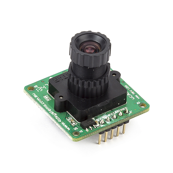
We use a simple camera module fitted with a wide angle lens to produce low resolution jpeg image files. We've included in the main PCB design a light sensor to make sure we only ever take a photograph when it's daytime! A major challenge using the ARGOS satellite network for data upload is that you can only send very small amounts of data at a time. Taking low resolution images limits the amount of data we can send and Icoteq have developed a complex algorithm that cleverly chops up the image and optimises sending it whenever a satellite pass over is available. Even then, it takes approximately 30 days to upload a full image and you can watch the latest one emerging day by day by clicking the camera icon on the interactive tracking map at https://www.icoteq.com/project-erebus/
Battery Units
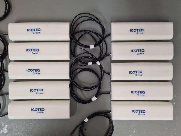
A lot of battery power will be required to ensure the units last for at least 4 years. Each ship will house 5 packs of lithium AA cells which perform well at and below zero degree temperatures and have a high energy capacity. The energy requirement is heavily dominated by the need to send back images which require a large amount of satellite transmissions. Icoteq designed and manufactured the battery housings in-house using 3D printing and filling with resin for strength and water proofing. We've allowed a lot of headroom for unforeseen energy consumption, but we expect a battery life of up to 6 years in the best case scenarios!
Project Erebus
The journey so far
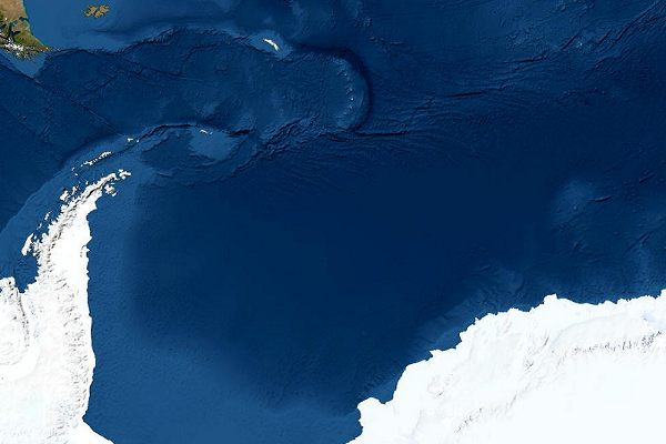
Follow the journey taken by Erebus and Terror through the Southern Ocean on our interactive map.
Shipbuilding
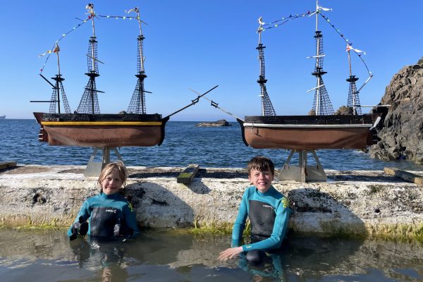
Discover the story of the creation of two scale replicas of HMS Terror and HMS Erebus by two adventurous boys, Ollie and Harry.
Scientific data
View interactive charts of data recorded by Erebus and Terror's on-board instruments.

