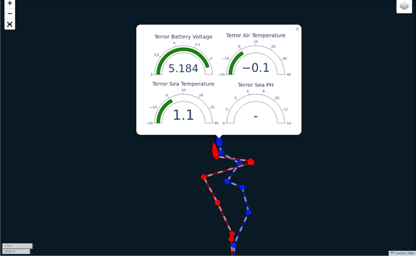
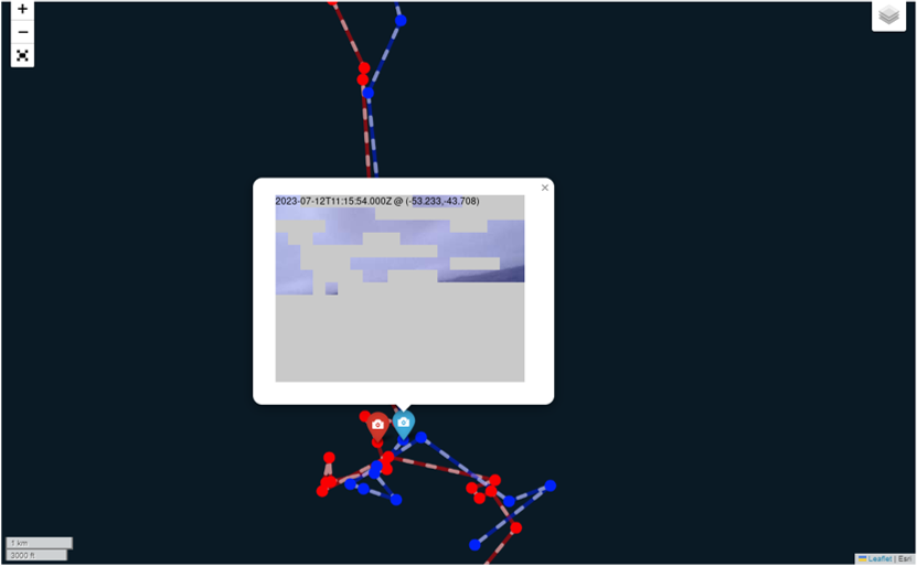
We're around 36 hours from launch now and starting to see the data emerging from Terror and Erebus drifting in the Southern Ocean. Below are images of the initial data, and some FAQ on the data. https://www.icoteq.com/project-erebus/
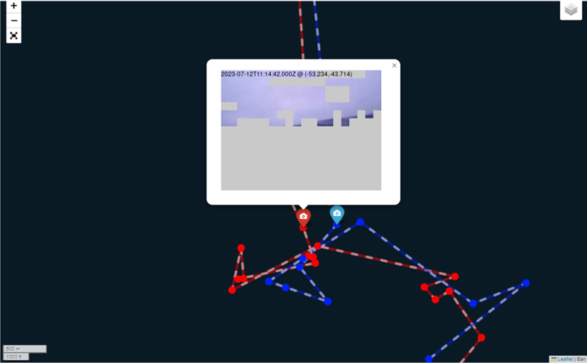
- Camera images are taken approximately once per month. An image is taken just prior to a data transmission and only if there is enough light, which is measured by a light sensor.
- The camera image is sent pixel by pixel spread across all the data transmissions in the month. There is no mechanism to check the successful transmission of the pixels, so they are sent several times during the month.
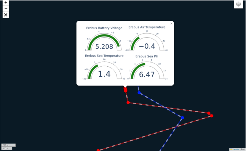
- Sensor data is updated and sent with most satellte transmissions.
- Sometimes, the camera data occupies all the available space in a single transmission so the sensor data is skipped in these instances.
- There are approximately 100 satellite transmissions from each boat per day (using the ARGOS network). The transmissions are bunched together in periods of 4-6 hours with similar sized gaps between the periods, governed by the timing of satellite passovers.
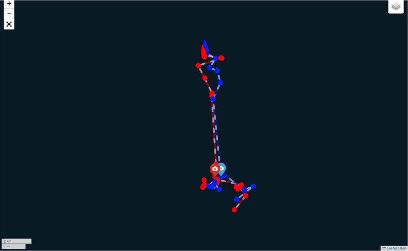
- Actual boat positioning is derived from the Doppler of the received satellite transmissions (not the on board GPS) which saves us power and data space in the transmission payload.
- The onboard GPS receiver is only used for acurate timekeeping and a reference position for the satellite prediction algorithm which ensures we only transmit when a satellite is available in the boat's location.
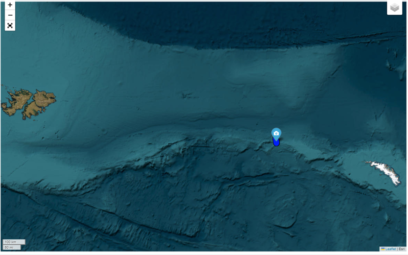
Southern Ocean position and initial tracking
Erebus Data and Camera Image
Terror Data and Camera Image
