Project Erebus
Southern Ocean Adventure
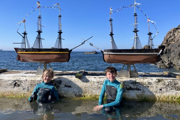
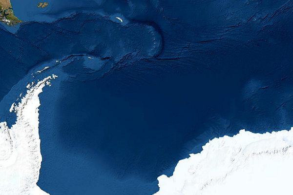
Project Erebus is an epic children's adventure taking its inspiration from the 1839 Ross Expedition - the last, and greatest, polar expedition ever undertaken by sail. Two adventurous brothers, Ollie and Harry, have set out to send scaled replicas of HMS Erebus and HMS Terror to drift through the Southern Ocean following the circumpolar current around the coastline of Antarctica, a journey of over 20,000 km.
Icoteq have designed bespoke tracking and monitoring devices for this project that will use the ARGOS satellite network to report back the location of each boat with scientific data collected along the journey. This will include air temperature, ocean temperature and ocean pH, a key marker for climate change. Once a month each device will take a photograph from the deck of the boat and upload it to our server to give an idea of the conditions at the boat location.
A commemoration to the original expedition, this project brings together the involvement of children in science, technology and engineering subjects (STEM), the application of low cost sensors for environmental monitoring and the notion of citizen science contributing to the gathering of important scientific data at scale.
Follow the journey of Terror and Erebus on the map below, click on the waypoints for images and sensor data, and join the discussion at https://www.facebook.com/tdajp!
<iframe src="https://www.icoteq.com/map.html" height="660px"></iframe>
<iframe src="https://www.icoteq.com/cesium.html" height="660px"></iframe>
*A camera image is taken once per month and sent over a satellite link pixel by pixel. This takes many transmissions to build up an image every 30 days.
Shipbuilding
Discover the story of the creation of two scale replicas of HMS Terror and HMS Erebus by two adventurous boys, Ollie and Harry.
Tracking and Data Monitoring
Learn about the custom tracking and data monitoring equipment Icoteq developed for this adventure.
Scientific data
View interactive charts of data recorded by Erebus and Terror's on-board instruments.


